THE DAY THE EARTH CAUGHT DATA (E2)
2024
The Day the Earth Caught Data unfolds in a
series of several episodes that attempt to create fictional narratives using
found online material from different locations. The episodes draw
parallels between a widely shared, seemingly uncomplicated reality and a
troublesome fiction where the image-makers become storytellers of their own
unsettling future. Constant surveillance practices on Earth’s surface
necessitate AI technologies to facilitate the frequent use of mapping apps and
the incessant sharing of locations along with self-referential content. These
procedures require huge amount of data which contributes significantly in the
digital footprint.
The title
is a reference to post-apocalyptic film “The Day the Earth Caught Fire” (1961) and each episode suggests a dystopia, an aftermath of the
intense human presence and the constant use of digital media that accompanies
it, wondering if the end of the world will come from our own visual
representations.
The title is a reference to post-apocalyptic film “The Day the Earth Caught Fire” (1961) and each episode suggests a dystopia, an aftermath of the intense human presence and the constant use of digital media that accompanies it, wondering if the end of the world will come from our own visual representations.

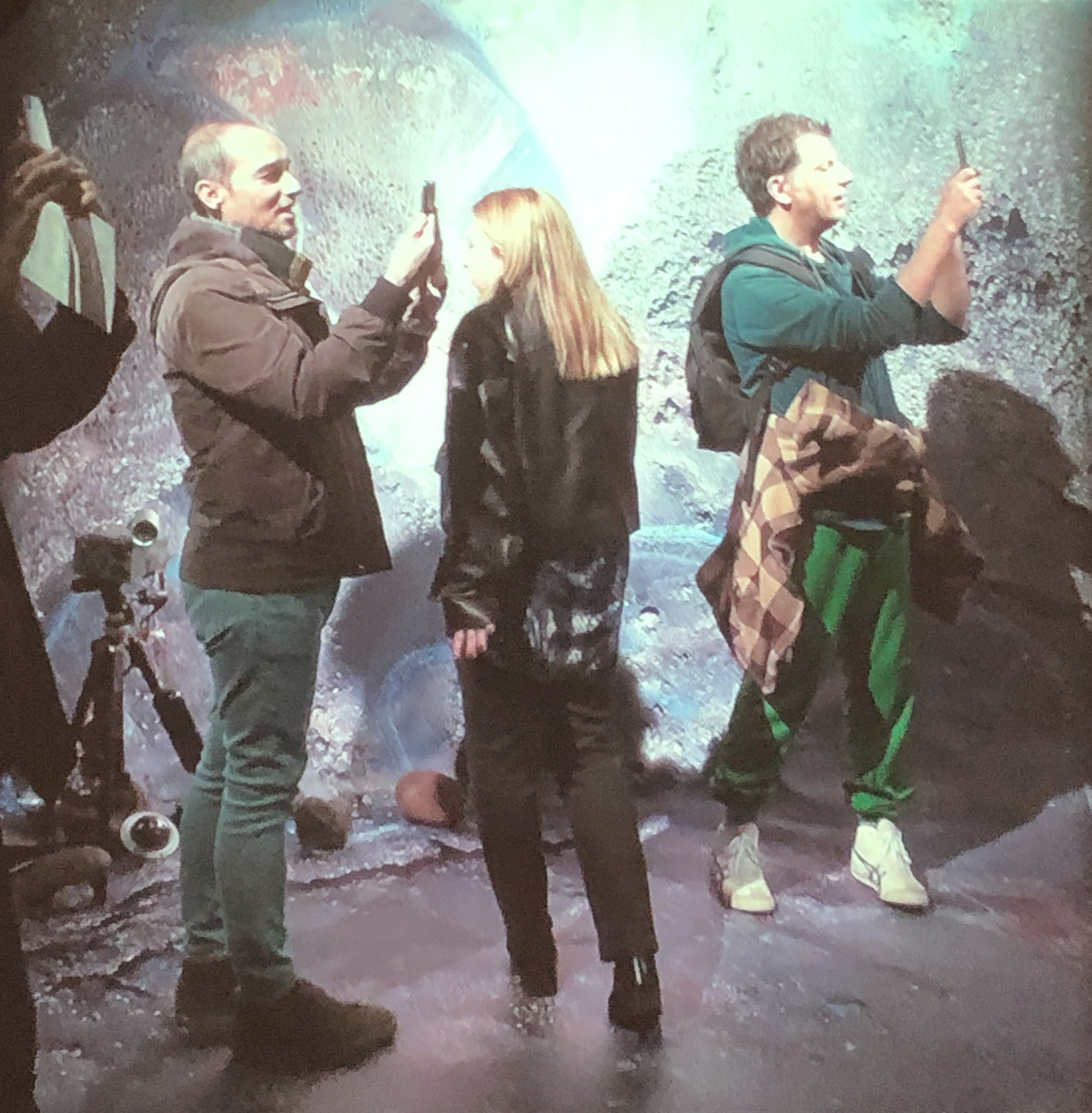
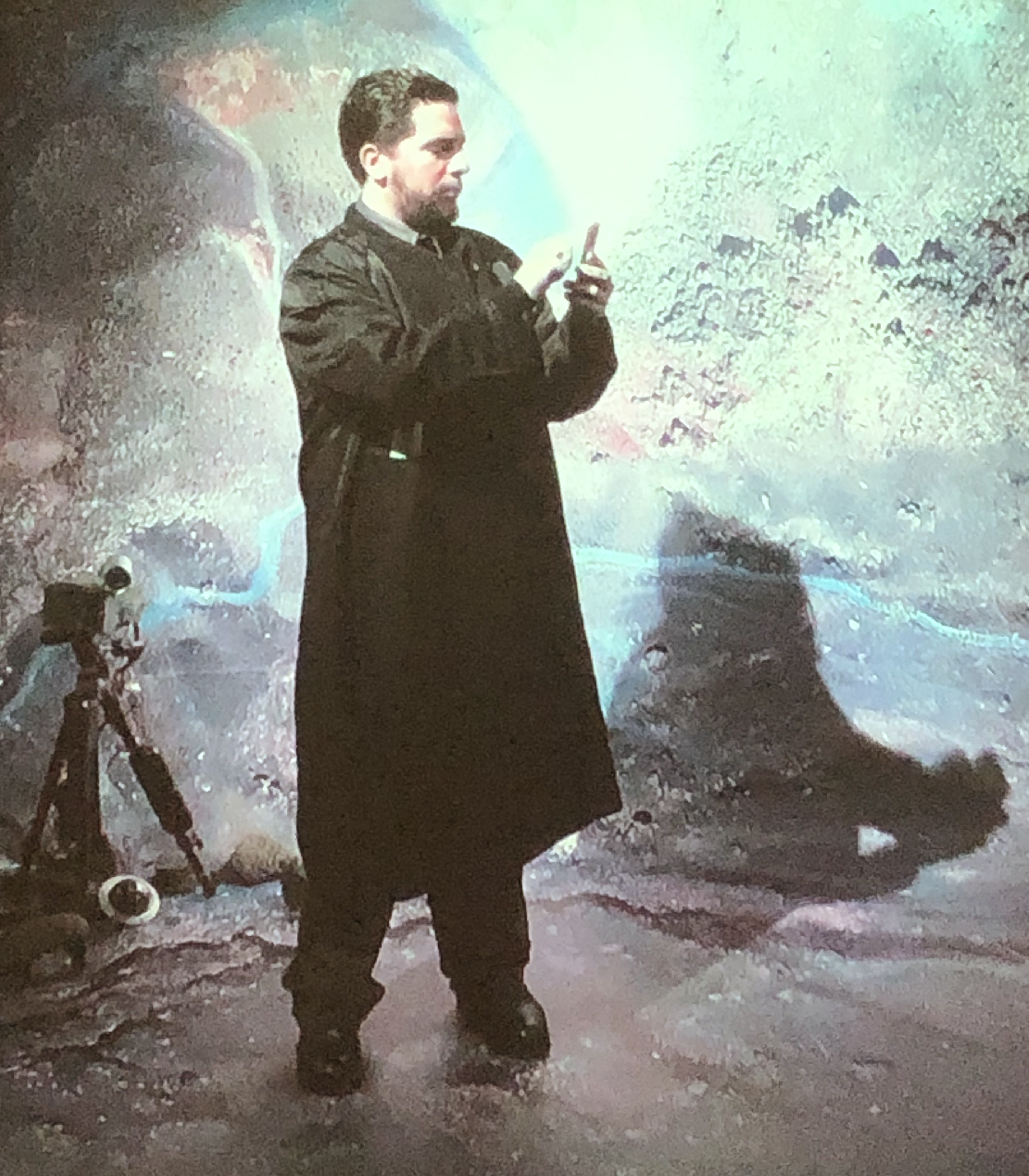
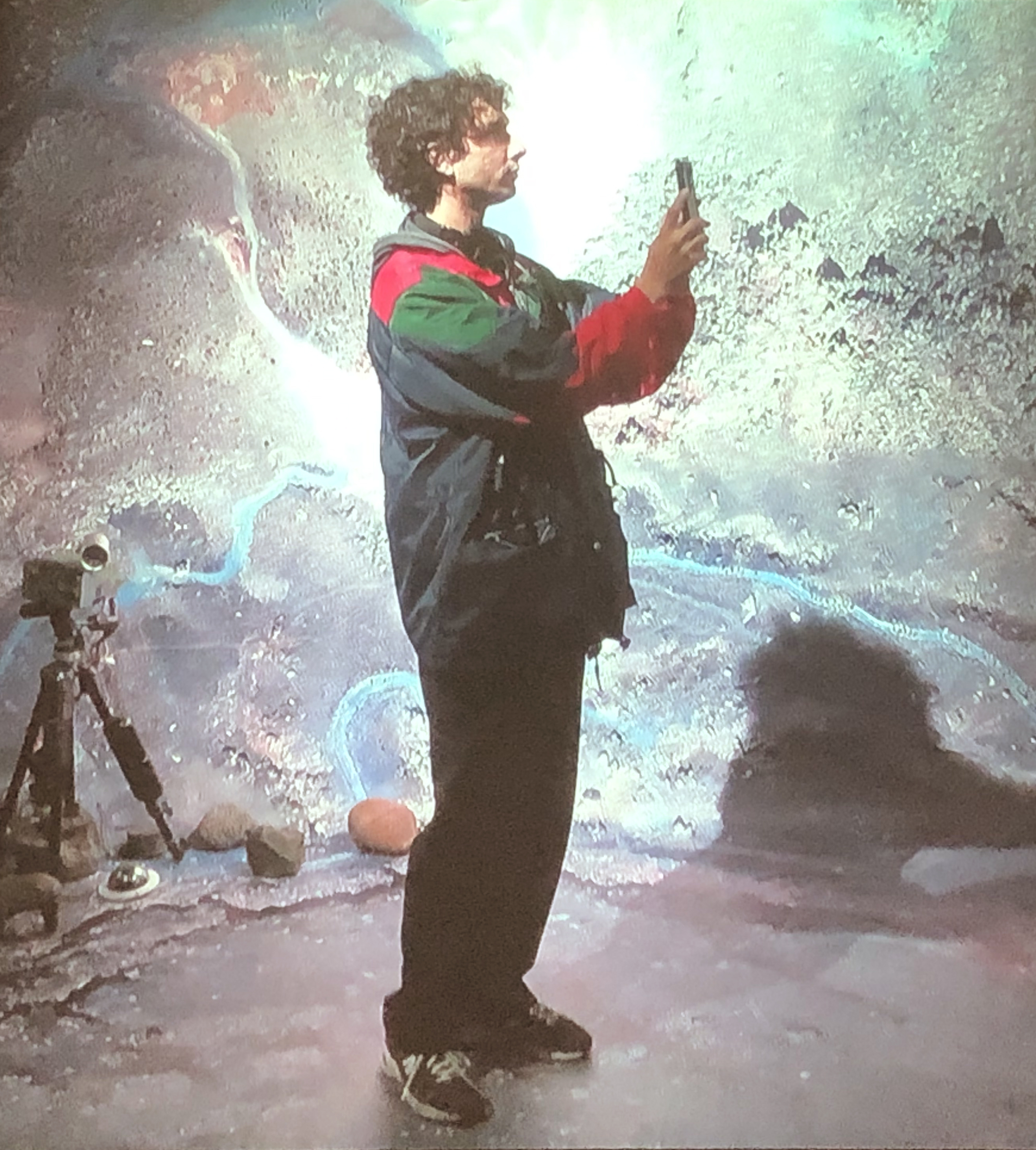
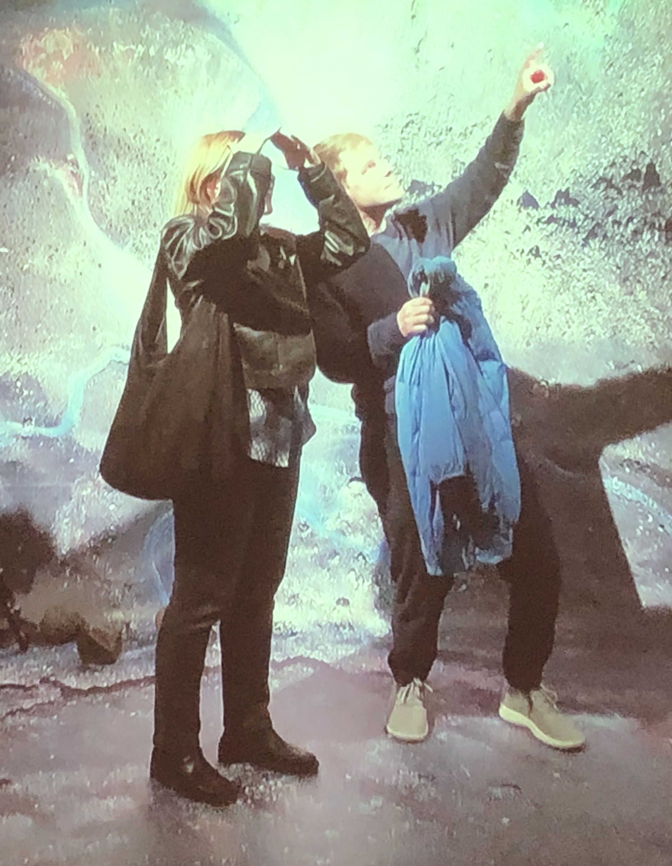
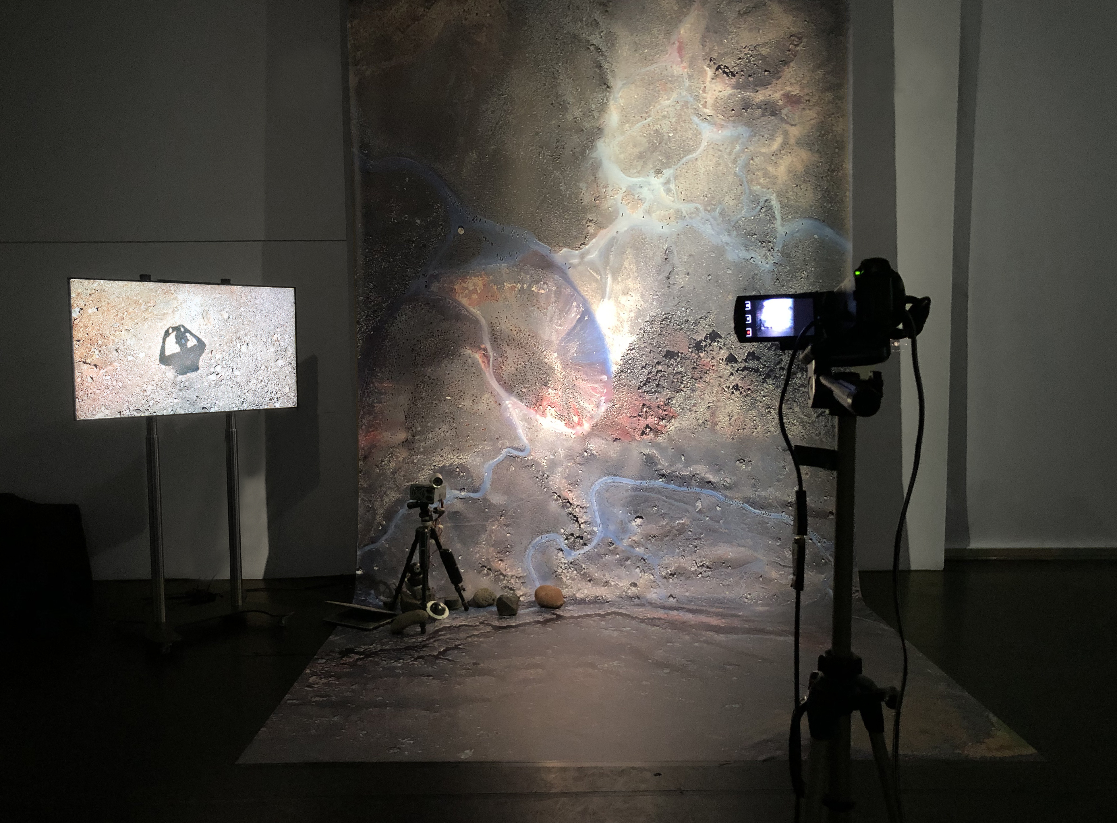
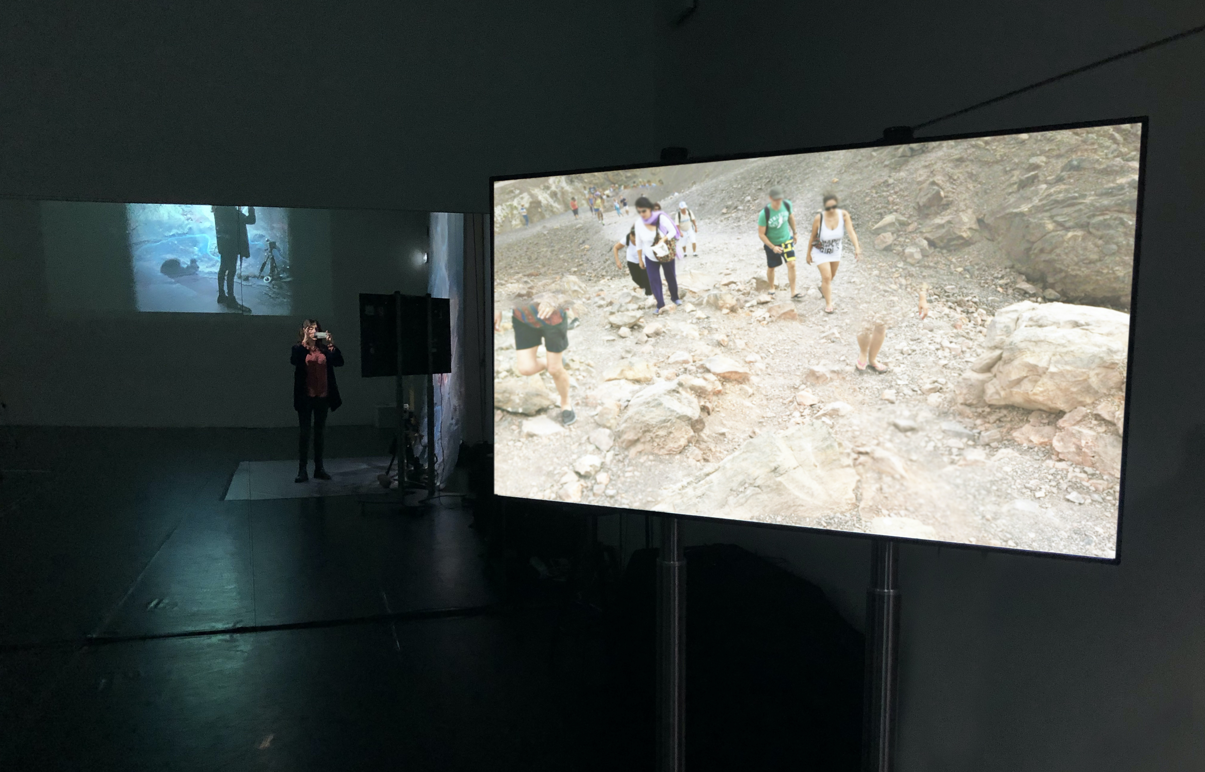
Episode 2 of The Day the Earth Caught Data was an interactive installation involving audience participation using primarily online material shared by different users through Google Street View Photosphere. The research is focused on Santorini, one of the most popular
destinations in the world which has ended up facing serious environmental and
sustainability problems. Its volcano, a separate piece of land surrounded by
sea, receives a considerate portion of the island’s visitors on day tours. The
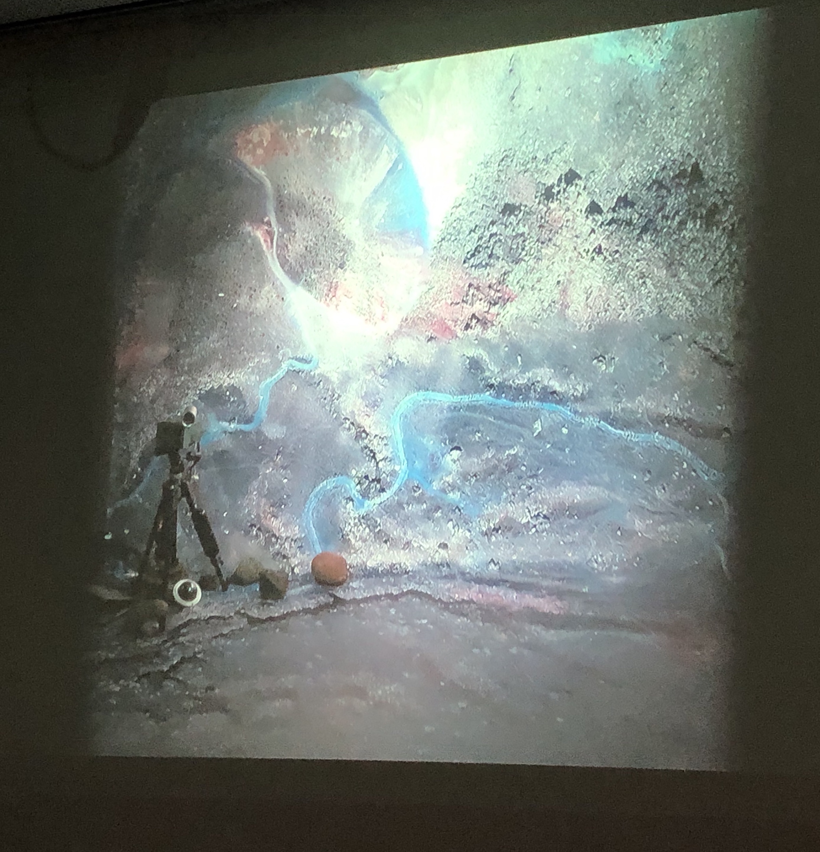
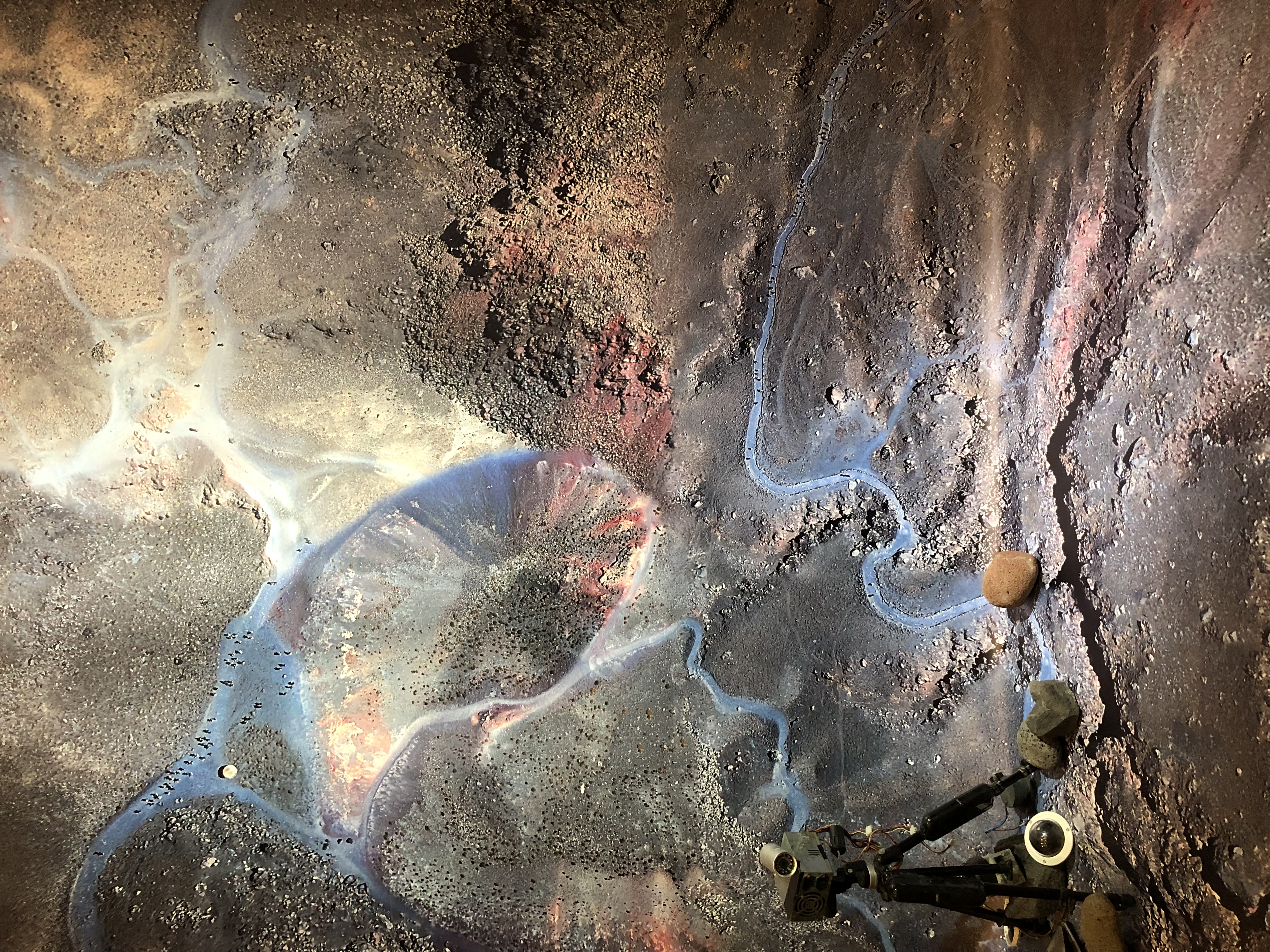
use of the satellite images generated by Google Earth along with screenshots taken from the online
photos shared by the visitors in Google Earth’ Photosphere, (view slide show) construct a different, more dystopian narrative. The volcanic landscape resembles
that of another planet, or that of a doomsday movie setting, where the individuals strolling around look
lost, exhausted and disoriented amidst the barren, uninviting surroundings.
The audience was encouraged to participate, when standing infront of the
backdrop, by taking their own photos of the real-time projection and share them
online.